
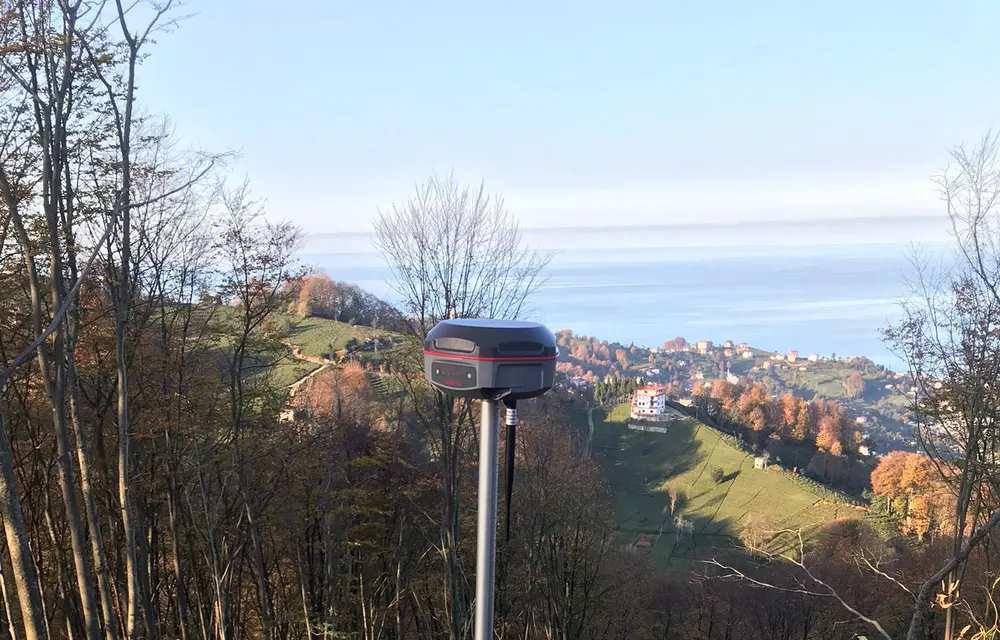
Stake-out (Setting-out)
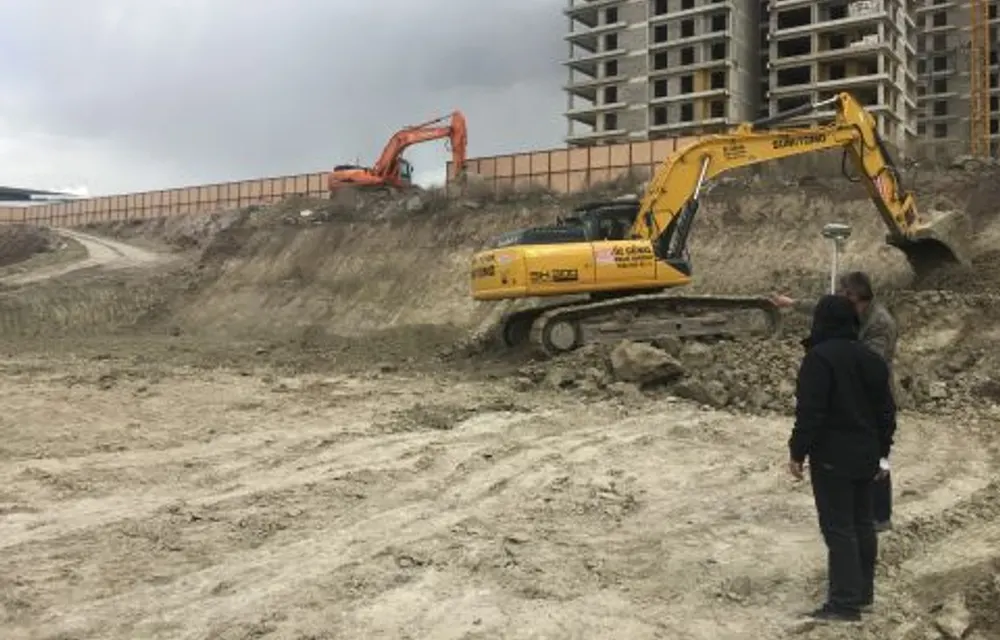
Setting out parcels and structures on site, coordinate and elevation application.
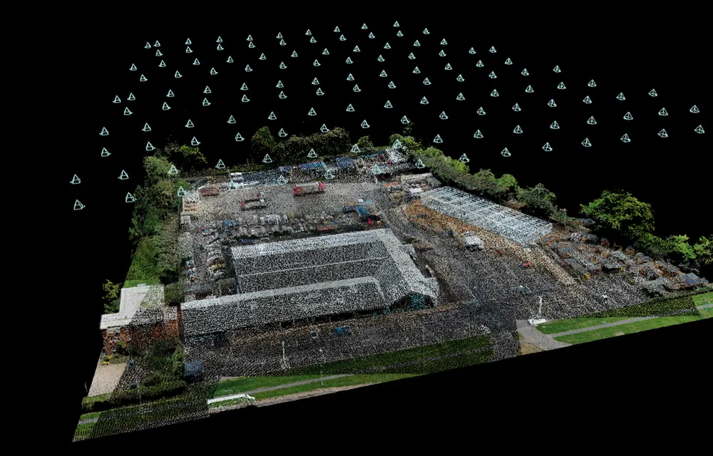
Get a QuoteStake-out, base maps, zoning applications, volume and drone photogrammetry. Fast, official and code-compliant delivery with GNSS and Total Station equipment.
Trusted by contractors, municipalities and engineering offices
From field measurement to digital map production, we manage the entire process in-house and in full compliance.
Setting out parcels and structures on site, coordinate and elevation application.
Get a Quote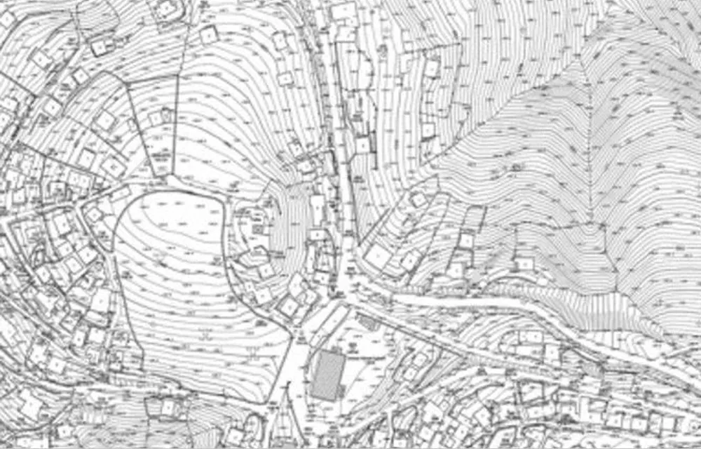
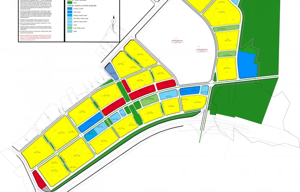
Subdivision (ifraz) and merger (tevhid) operations.
Get a Quote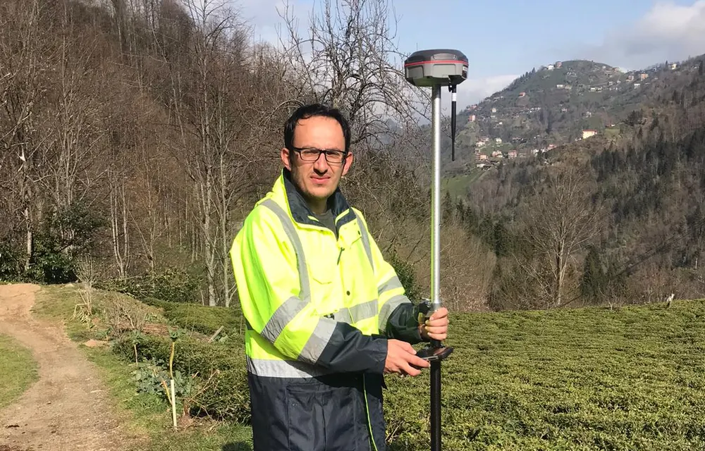
We combine field experience with modern equipment and a disciplined process.
All outputs comply with zoning and cadastre regulations, ready for official approval.
Millimeter accuracy with GNSS, Total Station and UAV photogrammetry.
With clear planning, most jobs are completed within 1–5 days.
Every step, from survey to digital map production, handled by one team.
Regular updates at every stage, a clear and recorded process.
An experienced team familiar with Black Sea terrain conditions.
A transparent and predictable process from first contact to delivery.
We clarify your needs and the site together.
Precise data collection with GNSS/Total Station or drone.
Digitization, calculation and quality control in the office.
Compliant-format delivery, with revision if needed.
Send us your request and we will assess the site and offer a clear process and price.