Yiğit Harita Mühendislik
Our Services

Our Services

From field measurement to digital map production, we manage the entire process in-house and in full compliance.

Stake-out (Setting-out)

Stake-out (Setting-out)

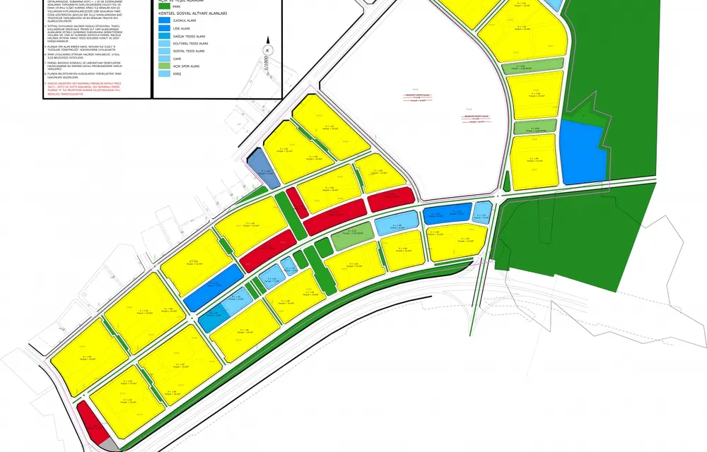
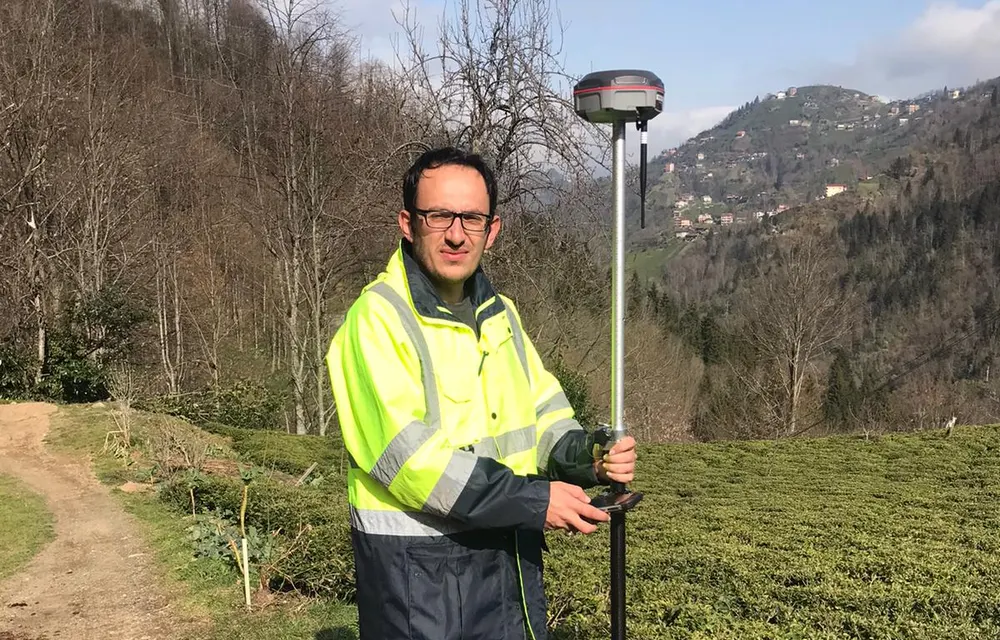
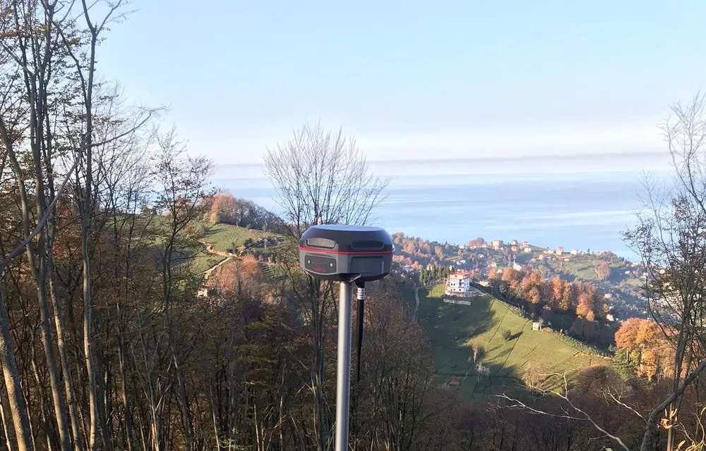
Setting out building blocks, parcels and elevations from zoning plans and projects directly onto the field. Coordinate and elevation application with GNSS/Total Station, delivered in compliance with regulations.

  • Stake-out sketch (PDF/DWG)
  • Coordinate and elevation list
  • Peg placement and on-site handover
Get a Quote
Base Maps

Base Maps

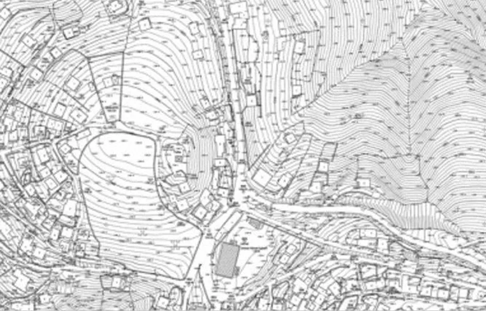
Base maps required for zoning plan production and application. Measurement of existing structures, roads, elevations and infrastructure to produce a 1/1000 digital map.

  • DWG / SHP digital map
  • Elevation and detail survey
  • Compliant scale and format
Get a Quote
Zoning Applications (Subdivision / Merger)

Zoning Applications (Subdivision / Merger)

Subdivision and merger operations in line with zoning regulations; preparation of stake-out, base maps and required documents, delivered ready for municipal approval.

  • Subdivision / merger map
  • Technical report
  • Prepared for municipal approval
Get a Quote
Boundary Determination

Boundary Determination

Determining parcel boundaries on site based on title deed and zoning data, peg placement and official documentation with a boundary determination report.

  • Boundary determination sketch
  • Determination report
  • Coordinate list
Get a Quote
Volume / Excavation Surveys

Volume / Excavation Surveys

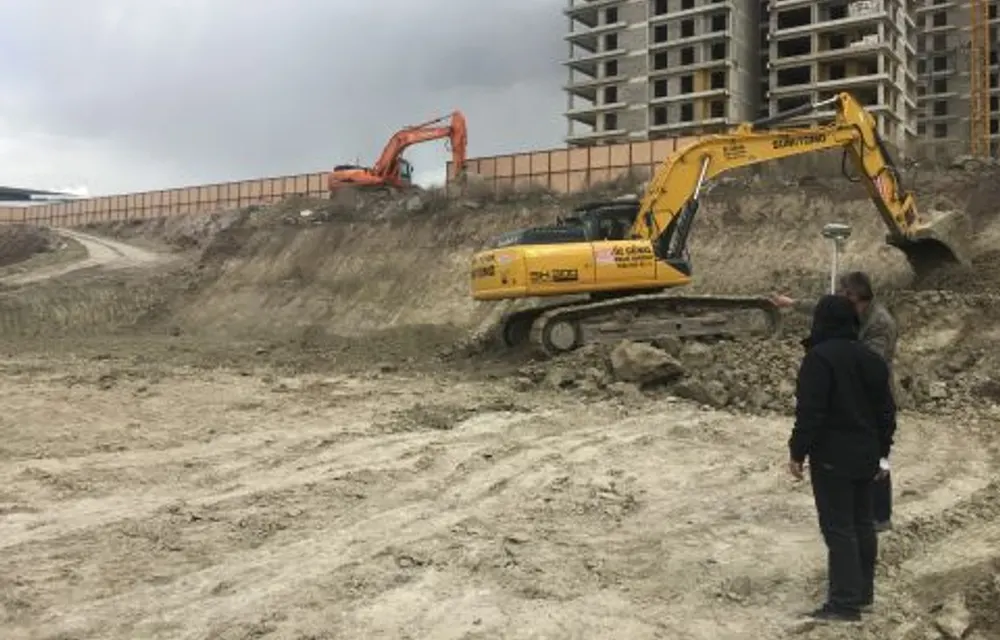
Determination of excavation and fill volumes on construction sites with drone or conventional surveying, period-comparison volume reports and up-to-date situation maps.

  • Volume calculations (Excel)
  • Volume report (PDF)
  • Fast measurement with drone photogrammetry
Get a Quote
Drone Photogrammetry

Drone Photogrammetry

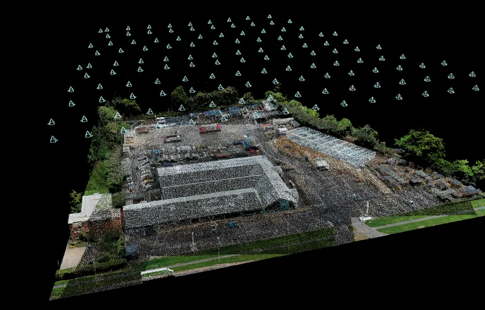
High-resolution orthophoto, digital elevation model (DEM) and 3D model production with unmanned aerial vehicles; volume calculation, area tracking and mining surveys.

  • High-resolution orthophoto
  • DEM / DTM production
  • 3D model and volume tracking
Get a Quote
How We Work

Clarity in four steps

A transparent and predictable process from first contact to delivery.

  1. 01

    Discovery & Request

    We clarify your needs and the site together.

  2. 02

    Field Survey

    Precise data collection with GNSS/Total Station or drone.

  3. 03

    Calculation & Drawing

    Digitization, calculation and quality control in the office.

  4. 04

    Approval & Delivery

    Compliant-format delivery, with revision if needed.

Get a fast, official quote for your project

Send us your request and we will assess the site and offer a clear process and price.